Shenandoah is the home of the eastern ridges of the Appalachians in Virginia, where the ancient rolling mountains create beautiful vistas for hikers of all abilities. The summits may not be as high as the Rockies, but the history contained within the mountains spans millennia. Shenandoah National Park spans 105 acres of majestic mountains with probably the best scenic driving on the East Coast, especially during the fall.
I had been planning to go to the Shenandoah National Park for quite some time. I was afraid to do some of the hiking trails because the majority of the trails are rather strenuous, especially those like Old Rag Mountain, but my desire to venture into the mountains was stronger than my fear.
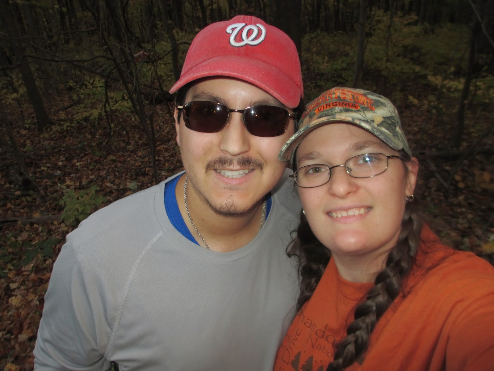
On Sunday, October 25th, C and I left the Northern Virginia area around 9:30 am, after packing a cooler with our turkey, colby jack cheese, a few extra seltzer waters, and apples.The directions forced us to drive down I-66 west towards Front Royal, where I spent most of my time fussing at how people drive, which was mainly slow (C swears that all Virginians drive slow). I think that, perhaps, I was too excited and I wanted to get there quickly.
We arrived in Front Royal around an hour later; however, my GPS app on my phone decided to send us in the opposite direction, so we spent a few extra minutes going through the wrong part of town and turning around to head back the way we came. Note to self: read the signs along the street: they tend to not be wrong.
Finally, after the $15 entrance fee was paid, we started to head to the Dickey Ridge Visitor Center, which was four miles past the entrance along Skyline Drive, the beautiful scenic road that travels through the entire park. Around the first bend, though, I ran face to face with a rather skinny deer with a tracking device around its neck standing in the middle of the road, meandering slowly to the other side. Thankfully, I wasn't going too quickly, so I was able to wait until she finished crossing.

At the Dickey Ridge Visitor Center, we quickly found a beautiful windy vista where a lot of the park visitors hung around. The wind was extremely chilly and I hadn't come prepared with extra layers, even though I did bring a light jacket, so I urged C to go into the visitor center and into the gift shop. In the gift shop, I found an orange long-sleeve t-shirt that was perfect to keep me warmer against the wind.
We left the Dickey Ridge Visitor Center to start on our first short "warm-up" trail. I was the one leading, but I ended up taking us in the wrong direction yet again. C took one look at the map in my book and realized that we were heading away from the trail head, which was across Skyline Drive from the Visitor Center. I, apparently, was too excited to actually remember any navigational skills.
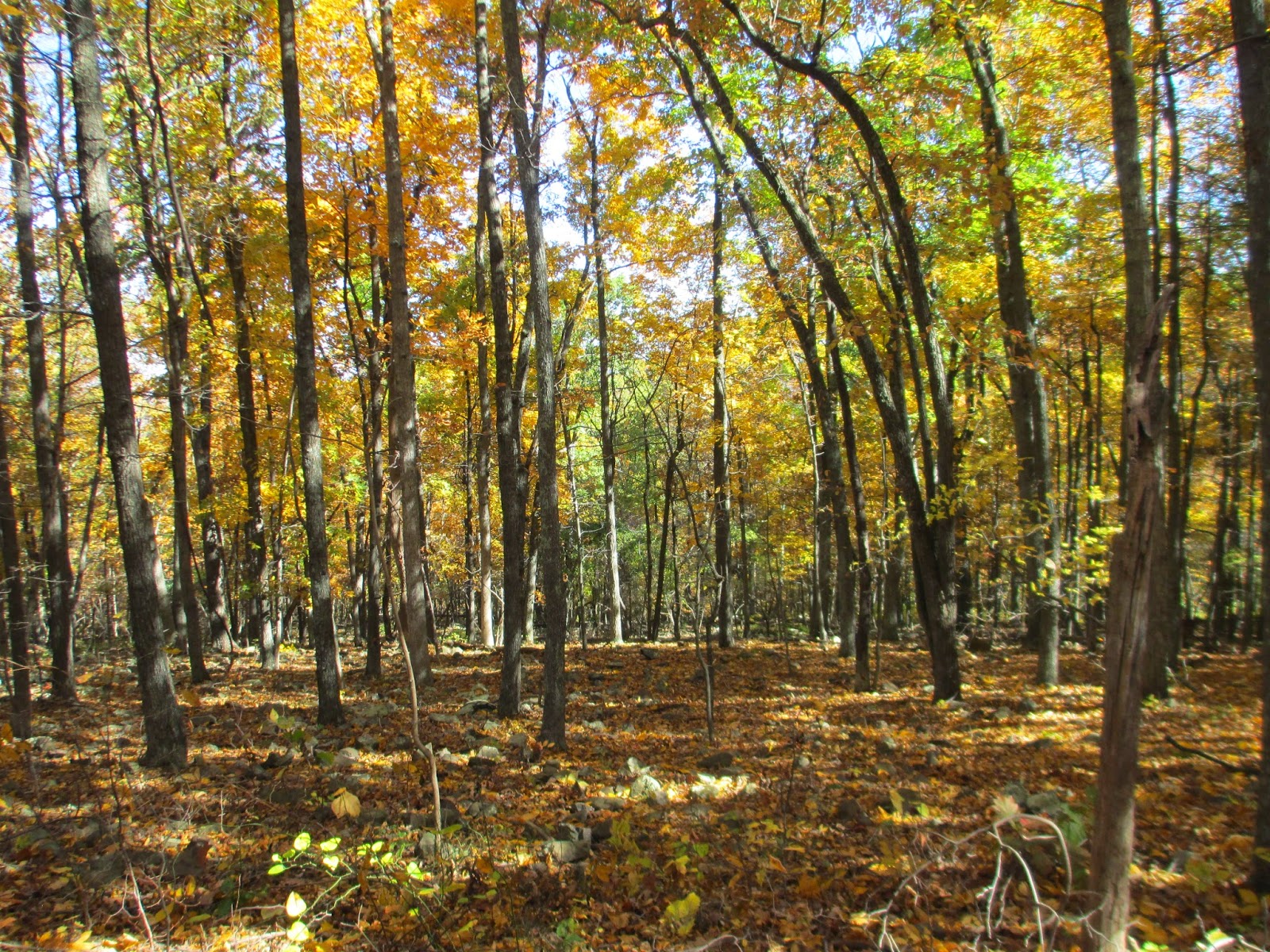
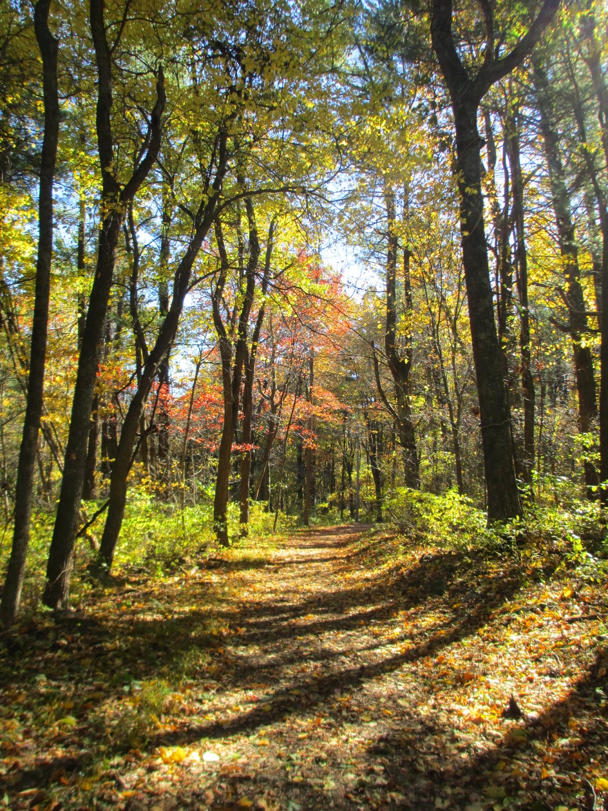
We followed the Fox Hollow trail loop to the left of the information kiosk and down a gradual downgrade. As we descended into the gully, the wind ceased to blow as hard and the temperature rose. The leaves stopped to swirl around our heads and the trees stopped creaking, leaving a peaceful silence. There were a few people milling around, but they seemed to turn back not too far from the trail head.

Near the bottom of the descent, before curving to the right, there were signs of large cairns of rocks on either side of the trail. The trees were changing colors, littering the eerie cairns with their fallen leaves. We also ran into an old cemetery from the mountain people who used to live in the Shenandoah Park before the US Forestry Service took over.
The rest of the almost two-mile trail was a gradual incline. We passed an elderly couple, hiking with their trekking poles and enjoying the sunshine on their faces as they slowly ascended the little vale. There was also a rather large family, the children climbing trees while the parents laughed and took pictures, further up. We could hear their screaming laughter before we saw them. We emerged from the trail from the right of the trail head and went straight to the car to head to the second, more strenuous trail.

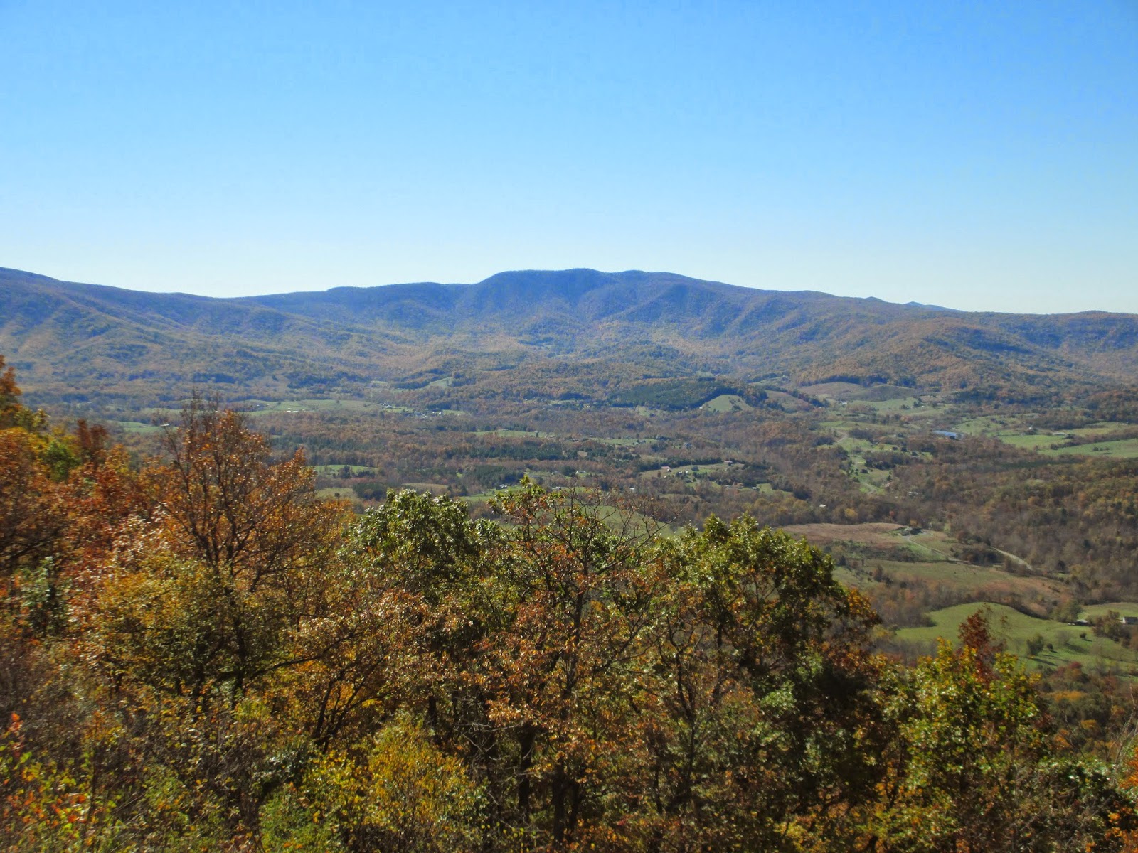
The second trail was at mile marker 19 on Skyline Drive. We stopped at several different scenic overlooks to glance at the valley below and admire the mountains in their full glory while we headed towards our trail head. Several scenic overlooks were packed with people trying to take pictures or stare. At each stop, there were the lone hikers, the romantic lovers, entire families, and retired couples enjoying the views.
At mile marker 19, we found the trail head for the fire road on the left. I quickly parked so that C and I could have our sandwiches for lunch before we started our seven-mile hike. We ate our sandwiches on the trunk of my car, enjoying the sun on our faces, and watched a gang of motorcyclists come into the small parking lot and park across from us. After rehydrating and feeling full, we started the gradual four-mile descent on the Keyser Fire Road, a nice wide trail with some nice overlooks.

The Keyser Fire Road was nice, with autumn-colored trees on both sides of the trail. It meandered slowly down the side of the mountain and into a little valley. We passed several people ascending as well as a few people descending. I marveled at some of the clothing choices the women were wearing. Did they know they were doing hiking or was it a surprise?

Eventually, the downhill traveling started to strain the quadriceps and knees. We were walking quickly to try to get to the bottom. I never thought that going downhill would take so much out of me. At mile four, we decided to have a quick snack break and found a spot to sit down and give our legs a little bit of rest. I had some springbok biltong from South Africa and a small bag of dried fruit, seeds, and nuts, while C had a more traditional trail mix.
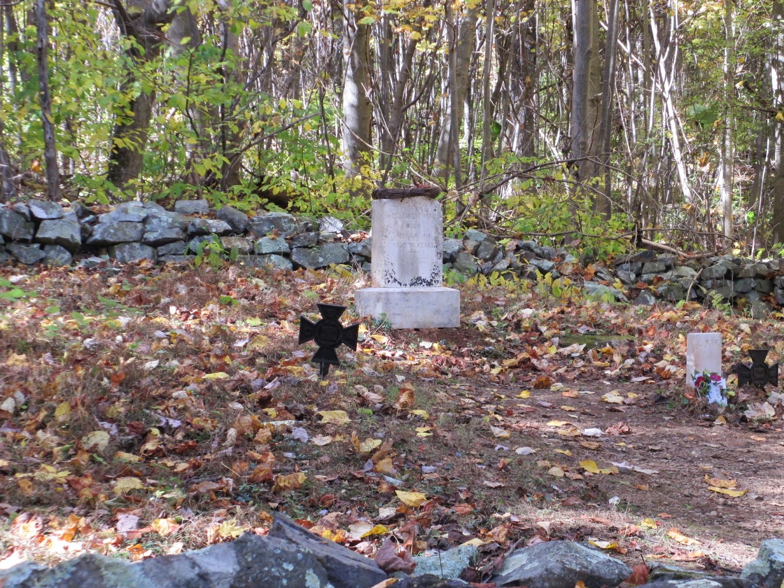
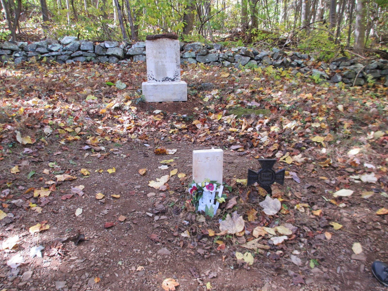
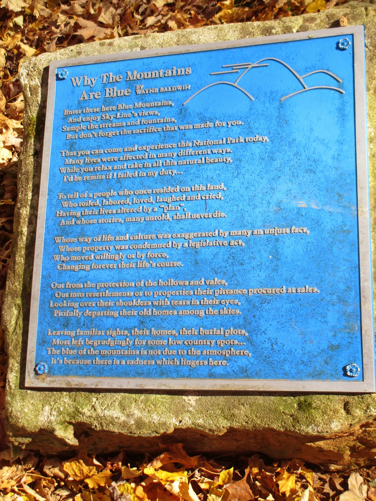
Near where we turned left to head towards the second part of the trail, we found another small cemetery. A father and his small child were investigating the stones. There was a blue plaque in the middle explaining the Blue Ridge Mountains that I thought was well written, albeit morose.

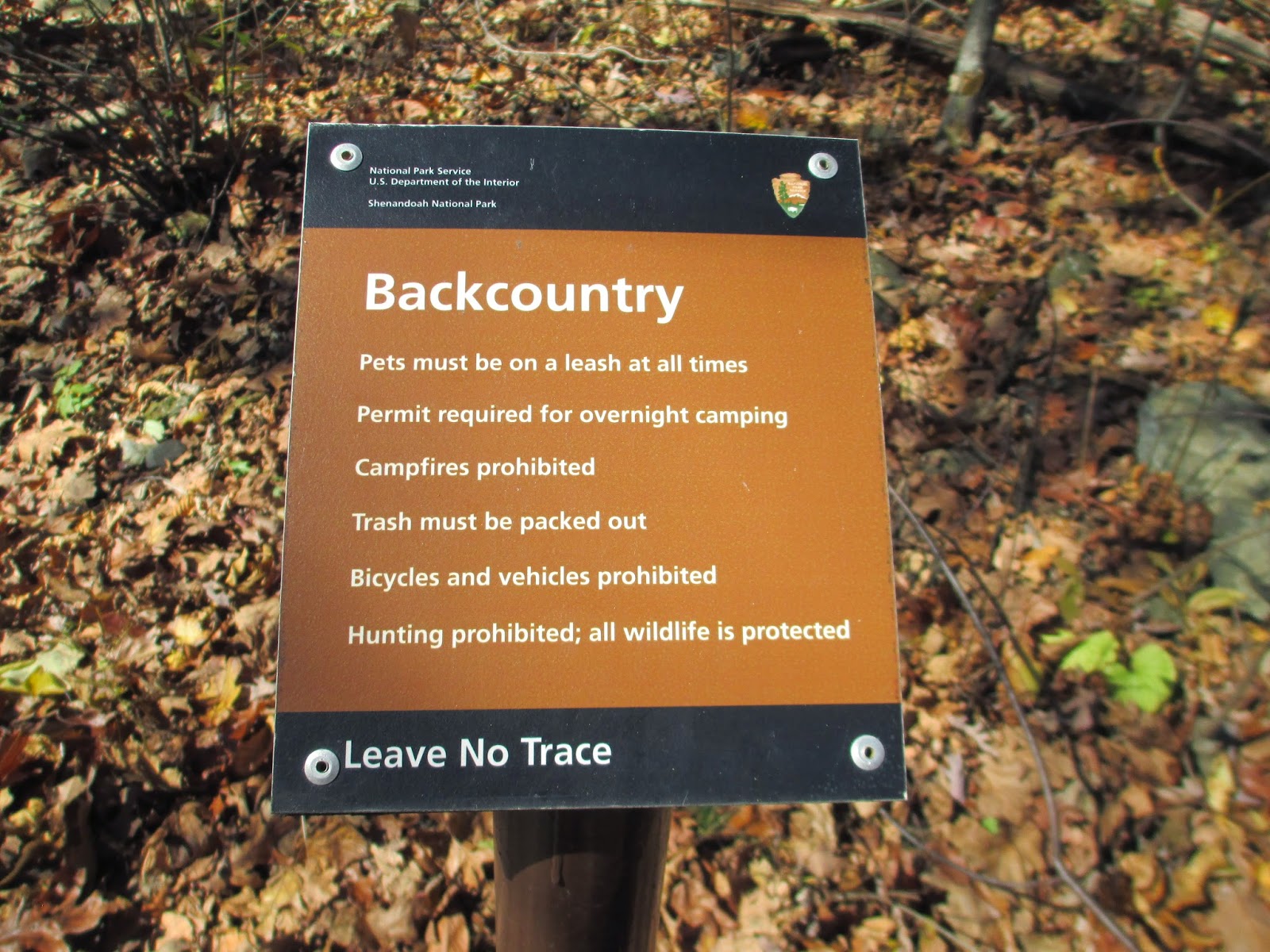
After we turned left, we headed downhill some more before seeing a random parking lot and signs that told us we were in private property. We crossed the parking lot, where I saw a family enter the wooded area. At the next trail head to the Little Devils Stair, I actually found the post sign for the trail as well as a backcountry sign telling hikers what they can and can't do while in the area.

The first thing we saw when we started the trail was a stream crossing with large boulders that we thought would have been the greatest picnic spots. The large boulders were off to the side so no one would be in the way, and you could dangle your feet over the stream without getting wet.

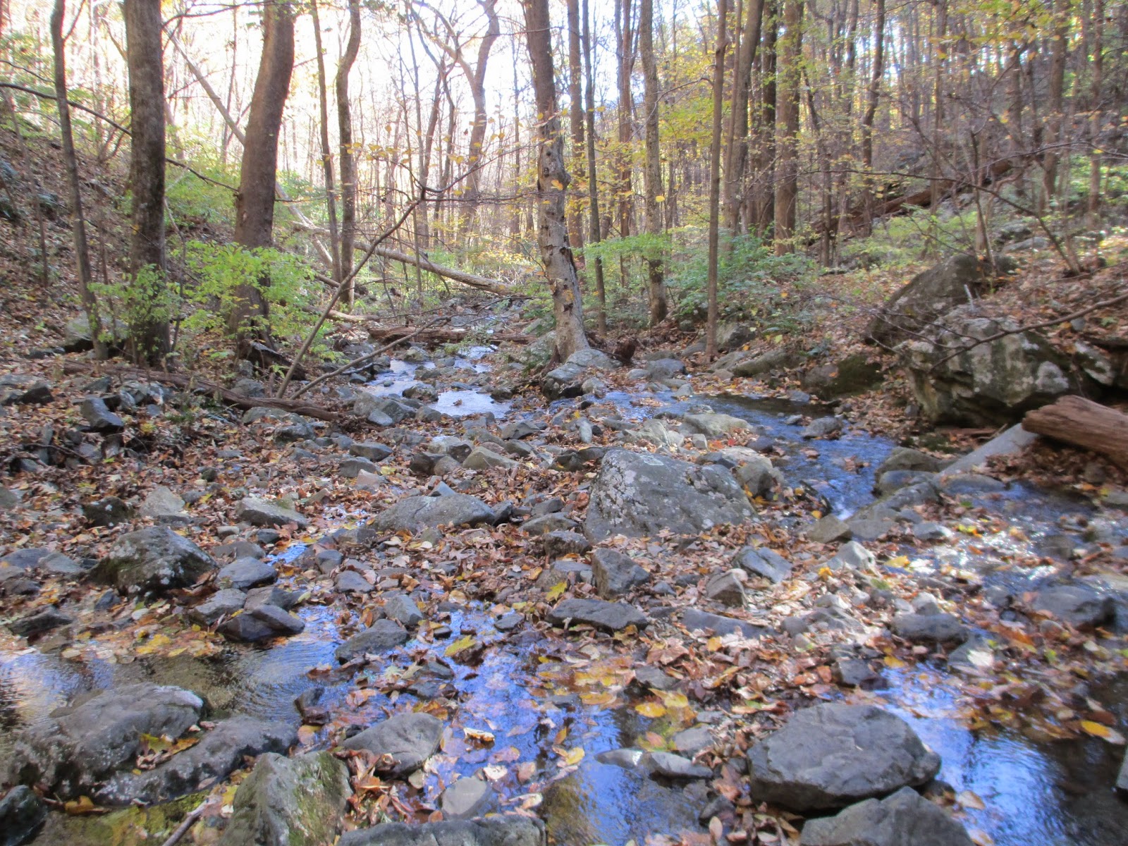
We started our uphill climb shortly thereafter, following a narrow trail through the trees until we could hear the sounds of water cascading. The birds were chirping merrily and the rustling of the wind through the trees died down considerably. I ended up having to start taking off my layers because it was almost hot while climbing upwards.
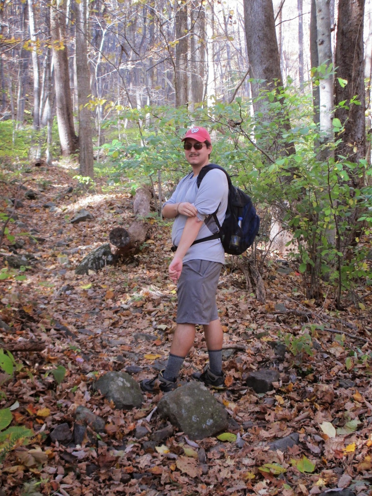 |
Caught C in the act of rolling up his shirt sleeves
|
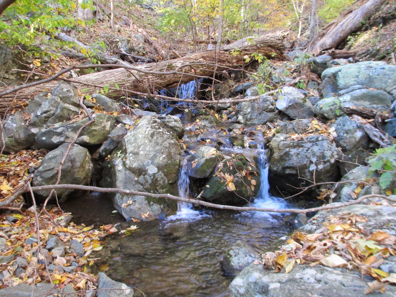
The noise from the cascading water got louder as we neared and we started to see the bottom of the gorge that is the Little Devils Stair. I was enthralled, but little did I know, I would get very well acquainted with the stair.

The next few pictures will show the actual trail as it turns into a rock scramble. This is one of the more challenging rock scrambles that I have done besides that of Great Falls National Park, but there was no turning back now. We crossed the Little Devils Stair almost each time the rocks leveled out after a cascade, but I lost count after an exhausting five crossings.
 |
C getting ready to do the first crossing
|

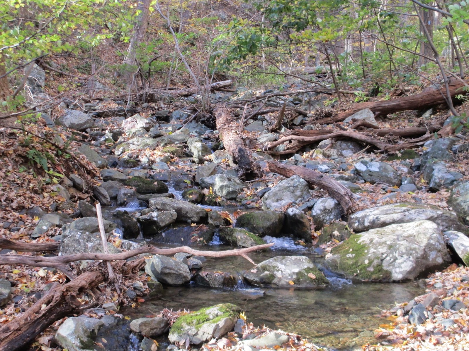
There were points in the trail when we didn't know where the trail actually went. Thankfully, whenever we stopped to catch our bearings, we found a light blue blaze telling us which way to go, and usually it was across the Little Devils Stair again. There were also times when we would look and the trail would go missing, but natural staircases pointed the way up.

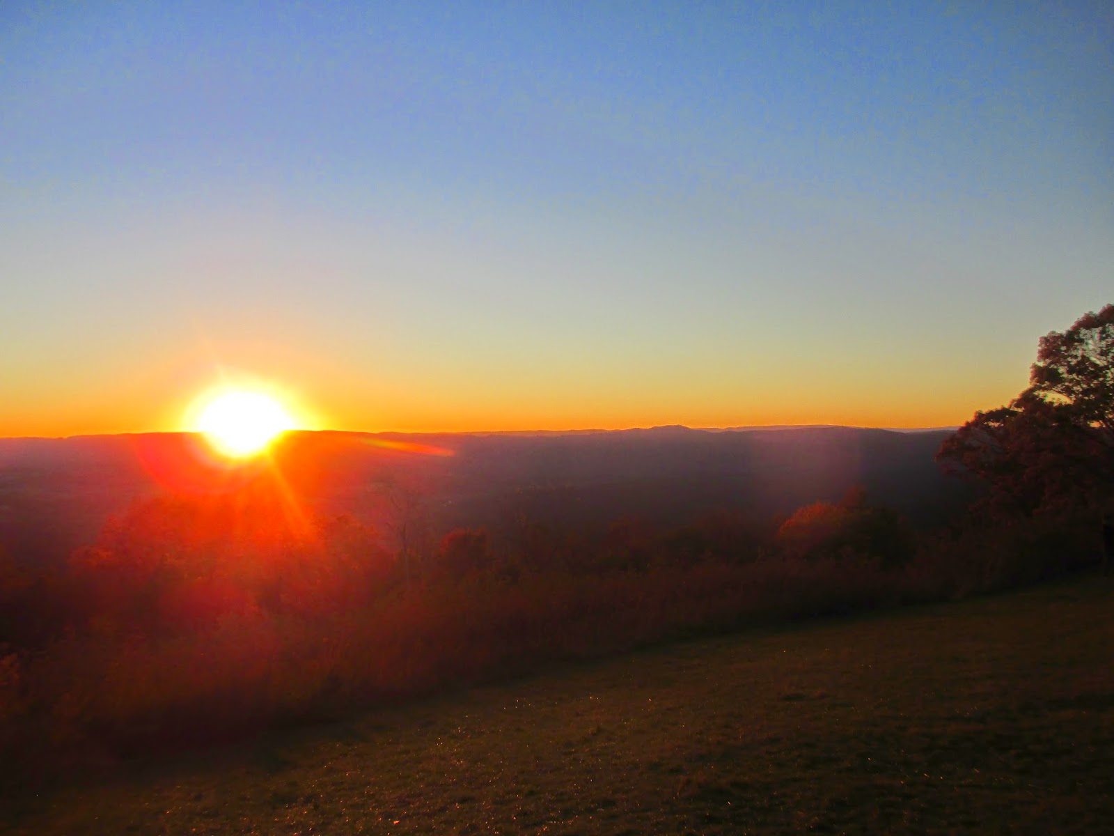
After about a mile of rock scramble, around mile 5.5 or so, we finally reached the top of the Little Devils Stair. There was still a gradual incline, so my legs were still screaming from abuse. I was also limping slightly because I had twisted my ankle on a crossing, but we made it make to the Keyser Fire Road. We followed the fire road back to my car right as the sun was starting to set. The colors of the autumnal leaves were brilliant as we drove back up Skyline Drive.


The journey was exhausting, but worth every little effort. I plan on returning back to the Shenandoah, especially for a multi-day hike in the summer. I am so grateful that Virginia is as beautiful and diverse as it is.
** Very late in posting, but I wanted to do the hike justice. I decided to go the picture-heavy route because the pictures were better than my prose. I hope you enjoyed them!
No comments:
Post a Comment