Friday, September 26, 2014

Historical bad-asses and fines for photos

Ever wonder what happens when a nerdy woman finds herself lost in the intricate labyrinth that is known as the internet? She finds new blogs, amateur journals, and websites that become thought provoking about her newest obsession -- hiking.

I stumbled upon the adventure journal that has pictures, historical bad-asses, and just news from all over regarding outdoor adventures. I was thinking that there had to be something out there for me to read and stay motivated!

The first article I saw was about a "historical bad-ass" by the name of Emma "Grandma" Gatewood, a woman who, in 1955, became the first female thru-hiker of the Appalachian Trail at the young age of 67 years old. This woman has already become one of my heroes and I only heard a small synopsis of her life.

http://c487397.r97.cf2.rackcdn.com/wp-content/uploads/2013/04/grandma-gatewood.jpg

You see, she wasn't a seasoned hiker. She just happened to see the Appalachian Trail through a National Geographic and just wanted to do it. She had limited supplies, foraged for food, and wore keds. She, also, walked the 2,000 miles of the Oregon Trail after missing the wagon train, bypassing the train and arriving to Oregon a week before it did. How awesome could this woman be?

I want to be like her. I want to be able to keep myself on the trail and in the backcountry as long as I possibly can. This means that I have to get my health under control, get into my training mode, and continue to enjoy my dates with Mother Nature.  Not only that, but one day, I'll be a thru-hiker on the Appalachian Trail.

http://cdn.c.photoshelter.com/img-get/I0000l0xrdkek2Io/s/750/750/Hoh-Rainforest-Photographer-Olympic-National-Park.jpg

Another topic that has been thought provoking was the idea that the US National Forest would fine $1500 for anyone taking pictures inside the park. They charge you for special permits and fine you with everything these days, so why not? I read a few outraged blogs, a few inane comments, and some just rather confused discussions, but I kept looking around to really understand what's going on.

I'm going to tell you the truth: I thought it was a hoax. Seriously, how can a National Park expect people not to take pictures of the beautiful scenery, the awe-inspiring mountains, the bio-diverse glade? However, in November, the USFS wanted to pass a rule that without a permit, no photos should be taken. Thankfully, it extended to the people of the press.

The outcry came from bloggers who use their photos on their sites. Are they commercial photographers at this point? If so, would I be fined for my photos? I doubt it. From what I understand, it was for the people who wanted to bring commercial crews and props, who had a higher potential to trample the understory of the forests, who would change the way something looks in a heartbeat in order to get the perfect picture.
http://www.greenhdwallpaper.com/wp-content/uploads/2014/08/forest-background-9.jpg

I think that a permit is needed for commercial photography, some reassurance that they won't do something stupid. Not bloggers or tourists, but the people who want the perfect picture. Nature isn't perfect -- there's entropy. That's what makes nature such a great healer of hearts and minds, so beautiful to look at.

It may be the biologist and conservationist in me. Maybe, I'm just a hippie at heart. I think that we need to be as careful as we can regarding our protected wilderness. Not so strict that makes the parks hard to enjoy, but just make sure that people -- small groups to commercial tours are more cognizant of what their impact may be on the wilderness such as littering (pet peeve of mine) or walking off trail.

So here's to training to be a bad-ass in the outdoors and photographing the chaotic beauty of nature!

Wednesday, September 24, 2014

1st Battle of Manassas - Manassas National Battlefield (Manassas, Va)

What makes going to an old battlefield so attractive to the people? Is it because you can get a glimpse of what the familiar would look like back in the day? Is it because knowing that hundreds of men fought for their ideal of freedom and rights? Or is it just a morbid curiosity like visiting cemeteries to simply read the death dates?


I went to Manassas National Battlefield Park, expecting to see just a few little museums and kiosks talking about the field since there were no re-enacting going on. I figured I would just meander around for a while and look over the line of cannons, but I was pleasantly surprised.

I went with my coworker, W, who was interested in joining me on my Tuesday hikes whenever she can. She wants to get more active and, whenever we see each other, we talk about my latest adventures and fitness. I invited her on this trip since it was 5 miles and  I figured I would take several pictures along the way.

We met up at the Visitor Center and paid our fee -- a mere $3. The rangers were very informative about which trails to go on. We decided to do the First Battle of Manassas trail, blue blazed, which was the shorter of the two hikes. As stated so eloquently on the trail map, "This 5.4 mile walking trail leads visitors over the landscape where on a warm July day in 1861, the newly formed Union and Confederate armies clashed for the first time."

Upon leaving the visitor center, we rounded around behind to glance at the lines of cannon which mark the primary battle lines. The cannon were imposing to come upon, yet exciting. I started to be able to imagine the men who fought here, manning the artillery and sweating in the sun.


After the cannon, the trail leads up to the Henry Hill house, a wooden structure with a little cemetery in front that contains the remains of the only civilian killed during the battle. That civilian was the owner of the house, an 85 year old woman by the name of Judith Carter Henry who refused to leave her home. Could she have been unable to leave? At that age, she may have been too frail or invalid to leave.


After leaving the Henry House, we followed the Red and Blue blazed trail. We crossed route 29 at a crosswalk to continue on our journey. The cars passing by ruined the whole feel of being lost in time, but that was soon fixed once we crossed the street and stared at the Stone House.


The Stone House was supposed to be opened to visitors, but I'm sure that's only for the weekend. As seen on the kiosk, it was once a tavern turned into a hospital. I peeked inside and you can see the laterns and tables set up as a tavern. It was serene and I can see why it provided soldiers with an image of peace. Could a divine hand have made sure that building was spared in both battles?

Behinds the Stone House, we climbed up to the high ground of Mathews Hill. The view was stunning. The tall meadow grass swayed in the breeze, obscuring close by objects. Small yellow and white butterflies flitted among the late summer yellow flowers and pasture thistle while hawks and other larger birds rode the thermals above, looking for field mice. Some of the trees were starting to change color to golds and yellows.


Glancing around, it was hard to imagine the serenity of my surroundings could become a place of death and chaos. I couldn't imagine men stalking through the tall meadow grass, some of it was almost as tall as I am.

There were several places where the path went through ornate fencing meant to keep deer out of the battlefield as well as appear more rustic.


We looped around into the wooded area near Bull Run, a watershed of the Chesapeake Bay, flowed shallow and tranquil below us. We passed where a plantation once stood called Pittsylvania, but only a plaque showed where. During the second battle, it was burned to the ground with no remains.

I wanted to stop at the Carter Family Cemetery, but W decided that it wasn't for her which I can understand. I'm a little on the morbid side and walking through historic cemeteries are interesting to me. I decided to put it on my list to see the next time I go back.

We continued to follow Bull Run, through the woods. Eventually, we started to see the trenching and defenses that the armies used. At fist glance, it just looks like mini-hills through the woods and anyone who didn't know about the Civil War would miss the importance of these little hills. Unfortunately, with foliage on the trees, pictures were hard to come by.


While in the woods and elsewhere, we were greeted by large trees, branches rustling in the breeze, that had little wooden plaques with "Witness Tree" inscribed on them. Upon research, I found that these trees were old enough to witness the carnage of both of the Manassas battles. The park rangers would bore a tiny hole and extract a sample of the tree's rings to determine age. Some of these trees, Eastern Red Cedars mostly, were around 300 years old.

We stumbled out of the woods and headed towards the Stone Bridge where, according to the map, "the union forces deployed to divert Confederate attention from the main advance upstream". The Stone Bridge has been restored, but the center was once blown apart to keep the opposition from crossing.

Pasture Thistle 

We, then, walked through a little marshland before climbing up the side of another hill to the Van Pelt homesite where only a plaque remains of the building. Here, there were several benches to entice the weary to sit and listen to their surroundings for a while. The climb up was rather difficult, considering the terrain before was relatively flat.

We crossed route 29 again, this time being very careful as there was no crosswalk to stay on the trail. This part of the trail was also being shared with the horse trail so we had to watch where we put our feet. We crossed a tiny bridge into the woods again and followed the blue trail as it zigged and zagged over the bridle trail for horses as we headed to the last mile back to the Visitor Center.

Last set of cannon used before the Visitor Center

We emerged from the last mile to the Visitor Center where we found a shady spot and a bench to nibble on some of our treats. W brought cheese, apples, and a baggie of nuts to share while I brought beef and pork jerky and trail  mix. We discussed how we really enjoyed walking with each other and hope to plan another trip.

After W left, I decided that I wanted to try to check out the Second Battle of Manassas trail. The trail started on the other side of route 234, so I carefully crossed the street since there was no cross walk. Note to National Parks, maybe it would be nice to have these crosswalks!

Telling myself that I'm on the second trail

I walked about a mile and a half and didn't find the entrance to the trail. I kept walking until I got to an intersection that had the Hooe Family Cemetery (mad that I didn't take a picture) before I turned around since the sun was starting to set. The second trail is over six miles, so I didn't think I could make it. 

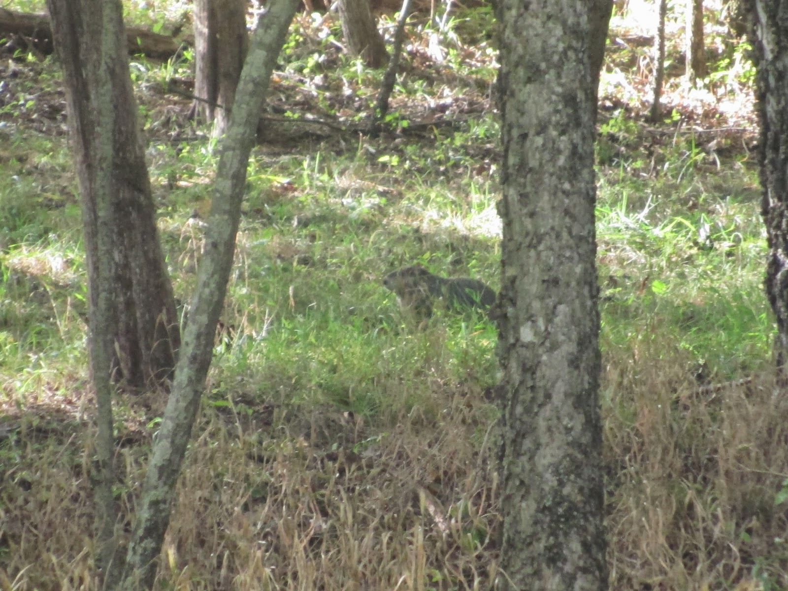
On my return, I saw that I had a little stalker in the woods. I could hear a little bit of rustling in the woods, but I thought it was just more birds. However, I glanced over because the rustling started to sound a little strange. There, in the trees, was a muskrat, staring at me with his beady little eyes. I could hear the slight chirping sound it was making before it ran off into the little brook. 

I see you! 


As the sun was setting, the battlefield started to change into another beautiful scene. The farmland, with its straw barrels, and the trees started to glow under the setting sun. I stood for a while, staring out at a set of trees that had a break through them. I, suddenly, realized that it was the entrance to the second trail. I had by-passed it on my way out by over a mile. Next time...


Finally, I made it back to the visitor center. I walked around to the opposite side to see a statue of a man on a horse. Was this the monument to Stonewall Jackson? I saw it when I first came in, but didn't pay any attention since I was ready for the hike. Now, thoroughly exhausted after 7.5 miles of walking, I trudged over the grass to the statue. Sure enough, it was Gen. Thomas "Stonewall" Jackson.

"There Stands Jackson like a stone wall! Rally behind the Virginians!"


For those who are not familiar with the first real battle of the Civil War (1861-1865) after the start in Fort Sumter in South Carolina, you may find more information here. Also, I recommend coming to Manassas National Battlefield Park and taking a walk through the lines of cannon and read the plaques as you relive the war.

I plan on going back to do the Second Battle of Manassas/ Bull Run as well as maybe taking both trails for a grand adventure in American History. If you happen to go, let me know your thoughts and emotions as you walk through. I, personally, felt a mixture of emotions between being somber and peaceful.

Sunday, September 21, 2014

Patapsco Valley State Park (Catonsville, Md)

Tuesday, September 16th was the third meet-up that I did with the MAHG. I had loved the previous ones (Pohick Bay and Oregon Ridge) so I was extremely excited to head out to one of the more longer trails with the group. Also, I was ecstatic that they actually had hiking on Tuesdays which happen to be my day off from work.

I travelled up to Catonsville, Maryland which took about an hour. It was at the end of I-195 near Baltimore and easy to get to. The park has a honesty type paying system where you fill out an envelope and put your $4 (for out-of-state) into it, slide it through the slot, and hang the parking pass on your rear-view mirror. Very easy and without the hassle of a park attendant staring down at you while you dig for change. That being said, you definitely need to bring cash!

We met at Shelter 245 which was by itself on the right at 10 am. There was a rather diverse group with ages ranging from young (me) to the retired fellows which made me think that these next 9 miles won't be too bad. Boy, was I wrong!

I met the hike leader, Irina, who was a foreign hiker transplanted to the US a while back. Her accent was very thick, her personality was abrasive, and her bearing was a little uptight. She seemed to be friendly, but she wasn't afraid to make snide comments about some people's speeds throughout the trip. Also, she really didn't slow down enough to get pictures, much to my chagrin.


First, we set off towards the blue trail from the parking lot. The terrain was very rocky and hard on the ankles, but it was all down-hill until we got to the the stream bottom. Here, we stopped and took a group picture in which we were all perky and excited. The trail was already looking to be quite a fun spot. As we got to the trail bed, we had to go through a tunnel which had an Amtrak train cross overtop as we got close.

Creepy tunnel
After, we walked through, there was a nice easy gravel section that led to the swinging bridge and the lone bathrooms where everyone stopped. The Patapsco River flowed serenely underneath the bridge that swayed as 10 people trudged across. I won't lie, I got a little nervous at the last little section when the swinging really started, but it wasn't that bad.

Swing Bridge!

A really shallow river


We, then, climbed up a few sets of stairs and onto the orange trail. The orange trail seemed to go on forever as we trudged up and down hills and through wooded forests. At this point, the slower people had really fallen behind and the hike leader was getting more and more upset. Finally, we all found our way to a beautiful cascading waterfall (hence the name cascade falls) where we snagged a few pictures before heading back onto the orange trail.

Horrible picture because I was moving

After a while on the orange trail and Irina getting angry that I had fallen about 50 yards behind along with half of the group, I stopped paying attention to my surroundings and focused mainly on where to put my feet. This is not something I like to do as I am an amateur naturalist at heart.

During the trek on the orange, we burst out from the wooded area to a meadow. There were some private school teachers with young elementary school aged children catching butterflies and identifying meadow flowers. They stopped us to ask where we were heading which Irina brusquely replied without slowing her pace.


We entered the wooded area again after about a quarter of a mile of such beautiful scenery and was greeted with a ruin of some sort. I was not able to explore or see if there was any history about it, but I have seen this ruin in plenty of pictures on the internet, so I assumed I could figure it out. Irina pushed us along like cattle to get to the a spot to take a short break.


Before we arrived to the purple trail, we had a stop for lunch. At this point, some of the group members who hike with Irina every week started to complain how this was hike was not fun for them because they had to stop every mile or so to wait for us slower people to catch up. I let it roll off my shoulders because I was really happy that I was only a few yards away and I like to hike with my own thoughts.

Lunch consisted of turkey and salami roll-ups, a dill pickle, and some squeezable pouch of apple sauce. I rested along with some of the other people on a fallen log, talking about how this experience differed from some of the others. I found out that I wasn't the only one who thought the pace was starting to feel gruelling. 

We bushwacked ourselves from our lunch spot to the purple trail over our heads and continued on our way. Because everyone had declined an earlier lunch, we were out of our way by almost a mile. Irina was getting more irritable at those that were slower than the regulars. There were so many hills, switchbacks, and rocky terrain that I was forced to slow down a little more in order to not have an asthma attack or fall.

We reached the yellow trail and took it. Here, we found another set of ruins, something that looked like it was supposed to be a pavilion of some sort. It was off in the distance and at the pace that we were going, I knew that I couldn't just catch up. We also ran into a couple of guys and their 4 month old puppies who were lost and couldn't find their way back so they asked me if they could tag along with us. I didn't see why they couldn't, but our fearsome hike leader was not pleased at all.


After the yellow trail, we found ourselves walking on a paved road, dodging cars while we walked back to the bathrooms and the starting point. At this time, the grumbling had become snide comments about slow people and the lack of fun. Some were even commenting about whether or not we had gone hiking before or did we overestimate our abilities.

I started out being proud of how I kept up and how far I managed to go without a total breakdown, but then, hearing their complaints, I started to feel ashamed. Even the hike leader was in on the bashing, acting very unprofessional.

We returned back to the blue trail after crossing the swinging bridge (no heart palpitations this time!). At the trail, we climbed our way out of the river bed, my chest heaving, struggling to catch my breath, and almost falling over large rocks.

Irina met us half-way and told us to keep going. She wanted to wait until the last person was off the trail before she headed up.

Nancy, Irena, and I caught up with some of the more elite people who were also struggling to make it up the path. We were the three that composed of the mid-pack stragglers. We were a small source of the aggravation of the more elite group.

As we came up, we could hear them telling each other that they were going to complain about it in the group and I heard someone tell the other that a large girl like me shouldn't even be on this trail (say wha?!). I may be the largest one in the group, but that doesn't hinder me from being able to do the hike.

Finally, we were back to our cars. Irina stormed back to the parking lot to tell her elite group that the stragglers decided to sit down on a bench near the swinging bridge and if they got lost, it was their own problem. I was furious because she never let them have a break and one of the people had fallen and, yet, they never complained.

This hike had the potential to be an amazing hike. The scenery that I was able to see was amazing. The pace was a bit fast, but it wouldn't have been too bad if I wasn't so into nature. The hike leader was a boorish woman -- a hiking sergeant with no tolerance. Her and her regular group were unfriendly complainers that dragged the hike down.

I plan on going back with C. This way I can get more amazing pictures, see the wildlife, and experience the hike like it should be done. Also, if I ever become a hike leader, I now know what not to do.


Saturday, September 20, 2014

Oregon Ridge (Cockeysville, Md)

Already, I have been putting off writing something about my hikes. I don't know if it's because the last hike I did with a group was so disappointing (another hike, another story) or if I am just that lazy. I'm thinking a little bit of both, but I need to get over it.

So without further ado, I'm going to share my trip to Oregon Ridge on Sunday, September 14th.

Sunday was a beautiful day-- breezy with a little bit chill in the air and the taste of fall. C and I woke up early and ventured to Oregon Ridge which is near Baltimore, an hour or so drive from our home. The trip was uneventful, we drove through DC on 295 to the BWI parkway. Then, we went around Baltimore to Cockeysville, MD via I-695. Once we turned left on Beaver Dam Rd from Shawan Rd, we made an immediate right between a general store and barn thing.

Waiting for the trip to start

We met up with a Meet-up group, the Mid-Atlantic Hiking Group (MAHG), in front of the Nature Center at 9am. Wayne, the hike leader, and his dog led the way on a splash hike that would be absolutely amazing during the late spring and summer time. There were no real bridges besides the first one after leaving the Nature Center.

Oregon Trail System

After leaving the Nature Center, we crossed the bridge and turned right onto the Red Logger's Road Trail, a easy trail through some of the native tree land.

My camera doesn't like movements

We stopped at an Overlook on the Red Logger's Trail to strip out of our jackets and get a drink while gazing onto an amazing view out of the park. The temperature had risen a little by that time, so we were comfortable under the canopy of the trees. 


We turned onto the Yellow blazed trail and began the hike in earnest. There were plenty of hills and ridges (gasp! who knew?) that made our breathes quicken, but the pace was manageable and Wayne was amazing at allowing people to catch up. After about 20 minutes or so, we managed to get to the first of many stream crossings. Wayne let his dog off leash so that he can cross and to see him frolicking in the water was rather amusing. 


Wayne showed us a little pond which was a little bit off from the main Yellow Trail. I could hear the water bubbling from the pond, down a little brook, and into the streams that we were walking through. The water looked black and stagnant, but there was a minute current that kept the bugs away.

Pond
Brook with tiny waterfall

We walked up a ridge, gasping for breath, to find a little area of cut grass that was our trail. We followed it until we got to a spot where there was a chain blocking our way. Fortunately, we were able to navigate passed the chain, through the graveyard of the picnic tables and grills that were thrown there for the winter haphazardly, and up another little incline. Finally, we found this beautiful little overlook. One of the group members said that the Park we were in tried to turn it into a mini-ski/sled ramp that didn't work out.


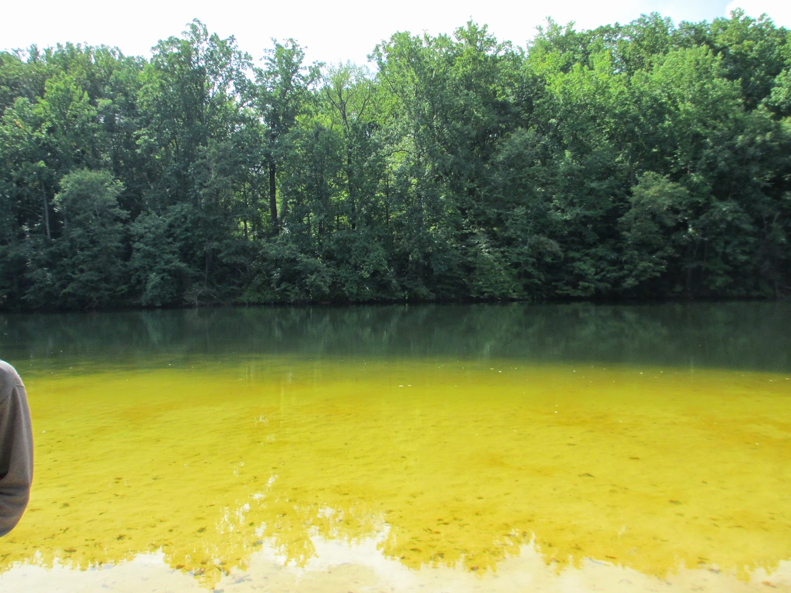
 Finally, we ended where the swimming beach was. It was closed, since Labor Day has passed, but it was still rather scenic. We took a group picture in front of the lake and dawdled around, climbing on the floating docks that were tied up along the shore. Then, we all gathered around the rules sign to have a good laugh. Apparently, you weren't allowed to do anything there -- no inner tubes, no music, no frisbee or jumping, no martinis! Actually, it was a sign that had a martini with a circle-backslash symbol to stand for no alcohol. Guess that means no James Bonds?


So Green and clear!

Overall, it was a nice hike. An easy side of moderate due to the rolling hills. The trails were blazed and had signs pointing in case you got lost and there were plenty of flora and fauna to gaze at. We scared a few deer with our talking, but it was fun watching them jumping over themselves to get out of the way. I saw no fish, amphibians, or turtles, but I know they had to be somewhere. 

There's fungus among us!!!

Anyone know what these are?

I definitely would like to go back, maybe in the late spring. Would love to walk around in water shoes and get my feet wet. A wonderful little splash hike available not to far from DC or Baltimore.


Friday, September 12, 2014

New Adventures

Call me trailblazer—since I have been focusing on a fun, healthy lifestyle instead of just weight loss, I have been on the move and everywhere. It started in April, right after a week of intense pain from kidney stones.  I wanted to get out of the house after I had to have the stone surgically removed. I had been cooped up inside all week and it was getting to me, mentally and emotionally.  C obliged and we walked for about a mile until my pain-ridden body decided it was time to go back.

The next month, C found a meet-up group that was for walkers since I had complained that I wanted to meet new friends and go places. I was starting to get an adventurer bug, but I wasn’t ready to set out by myself in an area I wasn’t used to anymore.  So, C and I went to Great Falls with the group and had the most amazing time. We followed the canal trail from the information center to Difficult Run where there was another waterfall. Then, we looped around to head back to the Great Falls gorge where the Potomac was swollen and the waterfalls sprayed observers who climbed boulders to get a better view. It was a five mile moderate to strenuous hike and I was hooked.

Throughout the rest of the summer, C and I would go for long walks that ranged from four to six miles around Arlington and Alexandria. Several times, we walked a small portion of the Mt. Vernon trail that travels from Mt. Vernon Estate to Washington, DC. We also traveled the trail from Shirlington to Potomac Yards in Alexandria on the Four Mile Run Trail a few times, once when we were walking to get something for breakfast and coffee. Our longest walk, until recently, was six miles from the Old Town Area of Alexandria, across the Woodrow-Wilson Bridge, into the National Harbor in Maryland, and back.

During this time, I was amazed at how my body was adapting. I started as a commuter who rarely walked, besides going to the car and back, to someone who rejoiced in walking miles in one day. C and I had started to track how long, fast, and far we walk in a single outing and I am always excited to see that we met a personal record either in speed or distance. Usually on Tuesdays, the walk is mainly for mental therapy, my speed slows down so that I can take pictures, smell flowers, and watch fauna act normally. Sometimes, I listen to music as a background, but normally, I talk with C.

So, perhaps this will be the beginning of an adventure-seeking blog. I can share my experiences, take pictures, tell which trail I followed, what I ate, etc. Maybe, I can find myself a niche in the paleo/primal blogs by discovering appropriate paleo munchables for day-hikes or where to go around the Mid-Atlantic area for  awesome adventures. I wonder how things will pan out.